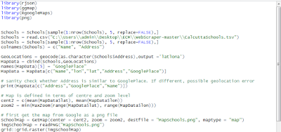
Plotting Addresses on Google Maps using R and R GoogleMaps
In an earlier post, we had shown how locations as defined by addresses could be plotted on Google Maps but the process was rather complicated. First, the geocoding had to be done separately and secondly a lot of messy Javascript had to be coded by hand. Finally the map that was produced could only be viewed with an internet connection.


No comments:
Post a Comment